Browse New York Public Library's Catalog of Photographs by Location
The New York Public Library’s Division of Art, Prints, and Photographs contains more than 500,000 photographs ranging from high art to the vernacular, from Eadweard Muybridge’s 1878 panorama of San Francisco to unpublished photographs byLIFEmagazine photographers. These photographs are being cataloged every day to include as much information about them as possible, including information about who took the photo, when it was taken, and what or who is depicted in it.
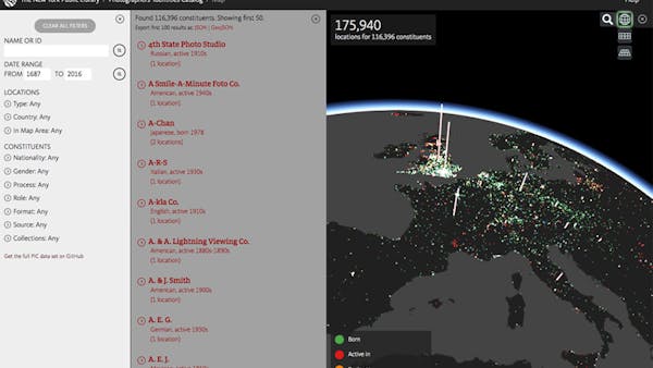
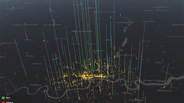
In the process a lot of data is gathered about the people and organizations (called “constituents”) involved in creating the images, such as names, nationalities, dates, and locations. Since 2003, this data has been assembled by hand from multiple sources via exhaustive original research by Photography Specialist David Lowe and other NYPL staff. To date, it contains more than 175,000 locations for more than 116,000 constituents. You can download the raw data from the GitHub repository.
Displaying all this data in a single searchable map was the goal of the Photographers’ Identities Catalog. Prior attempts were made with other mapping tools, but they fell short in interactivity, searchability, or performance. Cesium’s WebGL support made it possible to plot thousands of points in a very responsive map.
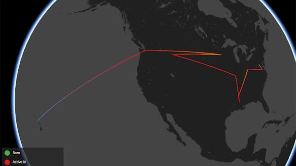
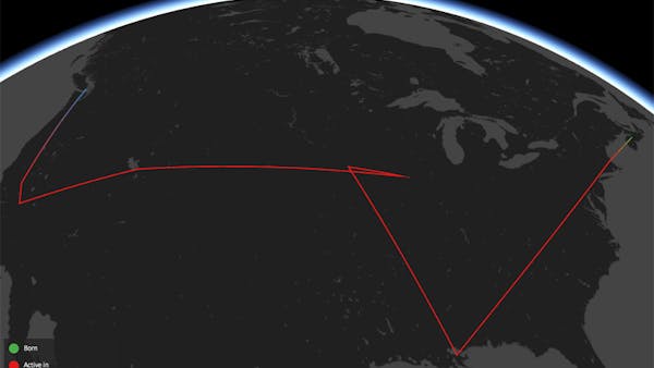
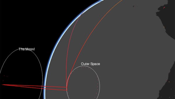
The interface is somewhat experimental at this stage, with interaction problems that may arise plotting imprecise locations (where do you draw the dot for “South America”?), density (what if 328 people were born in London?) or non-terrestrial locations (what about all those photographs from space?).
Feel free to look around the code for this project; the Cesium relevant parts were written in TypeScript.