Free and Open-Source Live Flight Tracking with FlightAirMap
FlightAirMap is an open-source project displaying aircraft on 2D and 3D maps, developed by Ycarus from Zugaina. The code is available on GitHub.
You can browse through the data based on a particular aircraft, airline, or airport to search through the database or see extensive statistics. FlightAirMap can use ADS-B, to track real flights, or it can use some flights simulators and flight-simulation networks as source to track virtual flights.
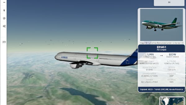
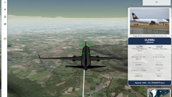
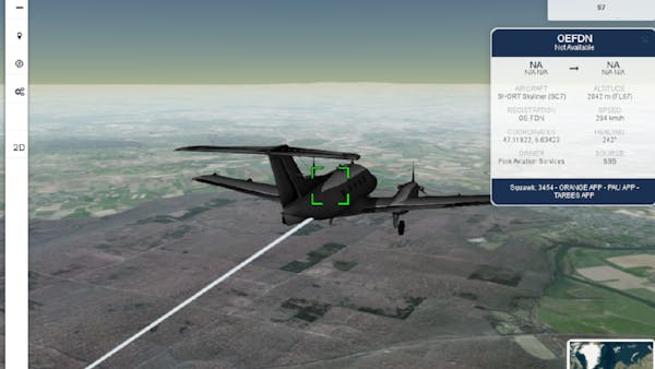
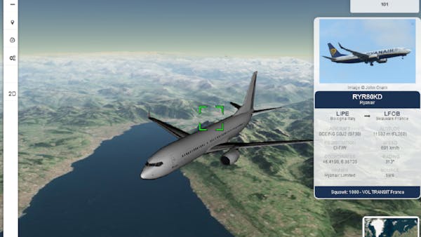
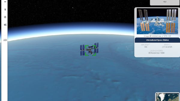
With the help of Cesium, FlightAirMap displays flights on a map using 3D models of aircraft in binary glTF format. Spacecrafts with 3D models can also be displayed in real time.