Raytheon Intelligence, Information and Services Uses CesiumJS to Add 3D to Vega
Raytheon Intelligence, Information and Services used Cesium to add 3D to Vega.
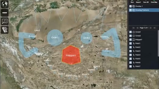
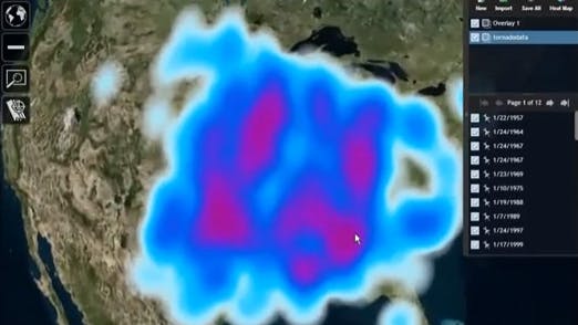
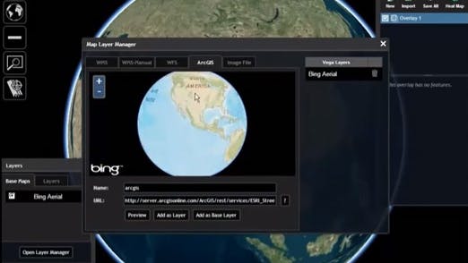
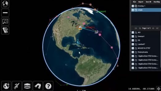
The video below shows:
- Navigation controls
- Coordinate system changing
- Bookmarks
- Feature drawing tools
- Feature styling
- Feature import/export formats
- Overlay Manager dialog
- Clustering and heatmaps
- Map layer management
- Historical visualizer
Other features not shown in the video include:
- Driving Vega programmatically from another widget using an external API
- 2525B service and symbol choosing dialog
- Map state persistence between uses
- Imagery and terrain resource fail over to local geoserver resources when network connectivity is lost