Windows on Earth: Showing Different Views from the International Space Station
Windows on Earth is at its core, an educational and scientific endeavor striving to share in the wonders, beauty, and majesty of our “Little Blue Marble” known as Earth. Over the last 10 years we’ve created software to help the crew of the International Space Station (ISS) capture photographs of their favorite locations around the world in order to share their unique and breathtaking vantage with the public, imparting a greater appreciation for our home and some perspective on how interconnected we all are.


Applications within the Windows on Earth project fall into a few categories:
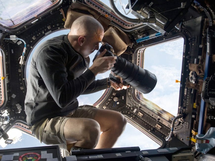
- Photography : The flagship application is deployed aboard the ISS currently. It contains a list of flyover dates and times for points-of-interest. Using a 3D Earth simulator, the astronaut can prepare their camera for the exact approach over those locations.
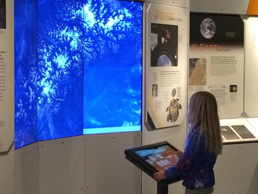
- Exhibits : As of 2015 there are 2 separate museum exhibits hosted throughout the US. The first of which was created in 2006. Aside from being a stunning success, it has the honor of being hosted at the Smithsonian Air & Space Museum in Washington DC. The second, and newest addition to the Windows on Earth family, features our debut of Cesium to the public and was exclusively released in November 2014 to the Museum of Flight in Seattle WA.
- Education : An offshoot of the Windows on Earth project is the Space Station Academy (SSA). SSA is an online course designed for all ages that simulates a mission to the ISS through interactive software based off of the Windows on Earth platform and some real astronauts here and there. The students learn what it’s like to go to the ISS and live aboard it for extended periods of time.
Why Cesium?
Since discovering Cesium in the summer of 2013 and spending time over the early fall creating many proofs-of-concept which focused on the feasibility of replacing “Google Earth plugin”, we quickly came to the realization that we never wanted to go back. Even when Cesium was in its beta release phase, the ease of use and the stability shamed the much more mature Google Earth plugin.
Every project is going to have its own needs and requirements so your list may vary, but here is why we made the change: ease of integration, stability, performance, access to the camera’s field of view, offline functionality, quality of the documentation, open-source code (so we can debug if necessary), and the ability to use custom imagery providers so we can utilize satellite imagery specially created for our project.