The Cesium Developer Conference is back!
Join developers and integrators from around the world at the 2026 event in Philadelphia, where the community comes together to share ideas, solve real-world challenges, and shape the future of open geospatial technologies.
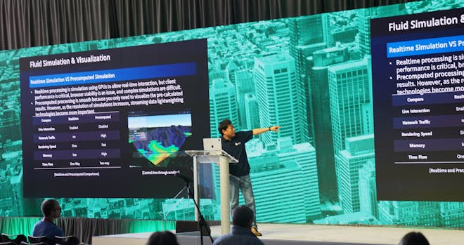
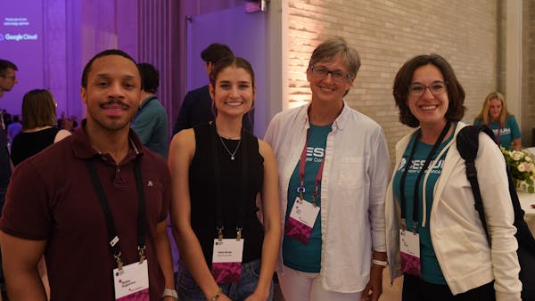
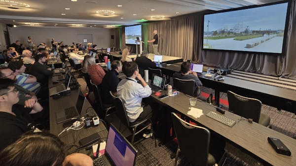
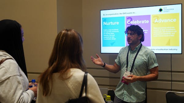
2025 Cesium Developer Conference Highlights
Registration is now open
Join developers, creators, and innovators from across the 3D geospatial ecosystem for three days of learning, collaboration, and community—all focused on building with open geospatial technologies and standards.
Call for presentations
The call for presentations and lightning talks has now closed for 2026. Please reach out to hello@cesium.com with any questions.
Presentation topics include but are not limited to the following:
- Advancing 3D geospatial
- Infrastructure and AECO digital twins
- Aerospace, national security, and critical infrastructure
- Gaming and simulation
- Climate and sustainability
- Openness—open source, open standards, interoperability, and collaboration.
Presentations should feature open technologies that reflect the diversity and impact of the ecosystem, such as geospatial capabilities for 3D creation engines, CesiumJS, iTwin, 3D Tiles, and open data.
Pricing
Register today for the 2026 Cesium Developer Conference:
- Cesium Developer Conference with pre-conference workshop: $650
- Cesium Developer Conference only: $550
- US government employees: complimentary. Email hello@cesium.com.
- Students, Cesium Developer Conference only: We have a limited number of discounted registrations available. Reach out to hello@cesium.com.
Coming soon
Conference tracks
Conference tracks will be announced in the spring.
Agenda
We will share a complete schedule of events, including the pre-conference workshop and social events. We are excited to celebrate ecosystem innovations with returning attendees and first-time participants.
New this year
The ionosphere: a dedicated space to connect directly with Cesium experts to discuss projects, new features, or any deep-dive technical topics.
Cesium Base Map: Following strong participation from academic and early-career attendees last year, we’re creating a dedicated opportunity for them to meet, network, and engage with the Cesium technical team. Before the main two-day event begins, get ready for a day of incredible programming designed to launch your journey.
Agenda at a glance
What to expect on each day of DevCon
Monday, June 8
Pre-conference workshop
Welcome reception
Cesium Base Map
Tuesday, June 9
Breakfast
Day 1 Cesium Developer Conference programming, including keynote
Concurrent breakout sessions
Lunch + community partner tables and demos
Lightning talks
Wednesday, June 10
Breakfast
Day 2 Cesium Developer Conference programming, including keynote
Concurrent breakout sessions
Lunch + community partner tables and demos
Final night party
"This was more than just a conference; it was a glimpse into the future of geospatial technology. From groundbreaking research to practical applications, the range of ideas shared was far broader and more impactful than I expected."
"The conference organizers and speakers knocked it out of the park with engaging and forward-leaning content, seamless logistics, and wide-open doors to everyone in their ecosystem."
“The true highlight for me was connecting directly with other Cesium engineers. We had productive conversations about challenges we are facing.”
2025 highlights
- Watch the recorded 2025 Cesium DevCon sessions.
- View the 2025 Cesium DevCon photo gallery.
FAQs
Read through our frequently asked questions to learn more about being a speaker at Cesium DevCon. For general questions about presenting, reach out to us: hello@cesium.com.
The primary author of an accepted session will receive one complimentary registration. If the accepted session speaker would like to welcome a co-presenter, their registration cost will be priced at $275. This price does not include the pre-conference workshop.
The Cesium Developer Conference is for developers at all levels who are interested in integrating open geospatial technologies into their apps and services. From game developers to digital twin integrators, the conference welcomes anyone who engages with the open community.
Share your technical expertise, highlight workflows, inspire others, and network with leaders and peers. Hundreds of developers and creators will join you in Philadelphia to learn and connect with the 3D geospatial community at the open ecosystem event of the year.
We are collecting presentations until February 13 and look forward to finding our speakers for Cesium DevCon. A committee will carefully review all submissions and select the most applicable and pertinent topics. You will know if your presentation is accepted through a Cesium team member contacting you in March 2026. Speakers must be available to present in person.
Each submitter may be the primary author of one proposal.
We are collecting presentations until January 30 and look forward to finding our speakers for Cesium DevCon. A committee will carefully review all submissions and select the most applicable and pertinent topics.
You will know if your presentation is accepted through a Cesium team member contacting you in March 2026.
2026 Cesium Developer Conference
Call for Speaker and Presentation Submission - Participation Agreement
This 2026 Cesium Developer Conference Call for Speaker and Presentation Submission - Participation Agreement (the “Agreement”) is between Bentley Systems, Incorporated (“Bentley”) and the organization or individual listed in the submission form (in either case, referred to as “I” or “my” herein).
1. I agree to submit the presentation listed in the form for inclusion in the Cesium Developer Conference (the “Presentation”), and if selected for the Cesium Developer Conference, I agree to create and present (as in-person) the Presentation at the Cesium Developer Conference on June 8, 9, and 10, 2026.
2. The “Materials” covered under this Agreement shall include the Presentation and all project information, files, images, and any reference materials used in support of the Presentation; and, if selected for the Cesium Developer Conference, shall also include the Presentation and all videos, images, and any reference materials used in support of the Presentation, as well as any interviews, videos, or other recordings or materials produced in connection with any of the foregoing.
3. Upon my submission of Materials, I grant Bentley and its subsidiaries and affiliates a perpetual, worldwide, nonexclusive, royalty-free right to use, reproduce, display, modify, classify, distribute, incorporate, or make derivative works based upon the Materials (or any portion of the Materials) in any works or media, for marketing (including in connection with investor presentations), pre-sales support, advertising, social media, and training, as well as for non-commercial purposes, including, but not limited to, reproduction in established industry journals and other third-party publications, case studies, and media websites. Any use of Materials will be credited to my organization in each case.
4. Unless contrary to applicable law, I understand that this Agreement does not prohibit me from using the Project or Presentation in the future in my own professional or personal work.
5. I understand that my submission will be accepted only if the project, presentations, and other features of the submission are in compliance with all applicable export regulations, sanctions, or other regulations.
6. If the presentation is selected, subject to my prior consent, I understand and agree that the Presentation may be recorded by Bentley during the conference, that the recording may include my personal likeness (i.e., photos, videos, etc.), and that Bentley will own the recording, subject to my rights in any of the Materials included in the recording. I further understand that Bentley may reproduce, display, distribute, or incorporate in any way, in any medium, any portions of the recording.
7. Regarding the Presentation submitted andpresented at the Conference, I hereby represent and warrant that:
a. I am the exclusive owner of all rights in the Materials;
b. the Materials are not the subject of third-party liens or claims of ownership;
c. the Materials do not infringe any copyright, trademark, or other third-party proprietary rights and comply with all applicable laws; and
d. no further permissions or payments are required for use of the Materials.
8. I warrant that, if submitting on behalf of an organization, I am authorized by my organization to approve and execute this Agreement and waive any and all claims against Bentley related to Bentley's use of the Materials; provided that such use remains within the rights granted and permitted uses as described within this Agreement.
Yes. All conference sessions will be recorded and uploaded to Cesium’s YouTube post-event, unless the speaker specifically opted out.
There is a parking garage attached to the Loews with valet parking cost charged per car per night. Additionally, there are other garages within 1 mile of the hotel.
The suggested dress code for all Cesium Developer Conference activities is casual/smart casual. Jeans are acceptable. Please always wear your conference name badge while participating in conference-related activities.
No, please arrange your own transportation to the Loews via Uber, taxi, or the train.
The SEPTA train is an easy, safe, and convenient option from PHL Airport to downtown. The trip from the airport to Jefferson station (0.2 miles from Loews) takes about 30 minutes and is around $10 USD.
Hotel check-in is at 4 p.m. Please check in at the hotel welcome desk in the lobby.
The Reading Terminal Market is less than a 5-minute walk from the Loews. Transportation will not be provided as the offsite venue is so close to the event.