Climate Change, Disaster Resilience, and Technology Converge at the Cesium Developer Conference
Our next update on sessions and tracks at the Cesium Developer Conference includes two significant sets of community-submitted talks: one focused on Climate and Disaster Resilience and the other on 3D, AI, and Data Technology.
As we saw in the fantastic abstracts submitted by the community, these topics are deeply integrated as emerging technologies and user experiences enable new tools and analyses that we can bring to bear when examining the impacts of climate change and planning for and responding to natural disasters.
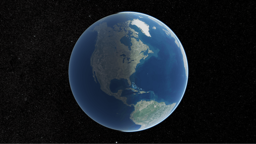
Our dynamic planet.
Climate and Disaster Resilience Track
We live on a dynamic planet, and open geospatial technologies enable us to monitor, measure, and respond to weather and climate-related changes in the built and natural environment around us.
Both main days of the conference, June 24 and June 25, will feature blocks focused on stories of open technologies applied to climate and risaster Resilience. On the 24th, we’ll kick off our lightning talks with four stories, including using Cesium to simulate the world at +4ºC by Columbia University and building a Cesium-based geospatial search tool for NOAA scientific data. The lightning talks will be given on the conference main stage to the entire audience.
June 25 features a block of 20-minute sessions on related topics. These talks will discuss using open geospatial technologies to build a first responder AR tool, mapping the USS Midway with GeoCam and Cesium, and using OGC GeoPose for real-time collaboration during emergency management operations.
3D, AI, and Data Technology
Because the Cesium Developer Conference is a technology-focused event, we would be remiss to not feature tracks and sessions that are oriented at geospatial technologies more generally. The conference will feature blocks of sessions on both days and a block of lightning talks focused on a range of technologies and applications of open data and open geospatial software and standards.
Here are some of the topics that stand out:
- Panoramic images in talks by Virtual City Systems and AerialSphere
- Integrating 3D Tiles into the Godot open game engine
- Demonstrating cloud-optimized GeoTIFFs in CesiumJS by HoBu
- Several sessions on extended reality (XR) and augmented reality (AR)
- Integrating CesiumJS and 3D Tiles into open developer tools
- Scaling the production of Gaussian splats with Atomic Maps
- Using open geospatial technologies to build games with the Athens School of Fine Arts

Philadelphia City Hall at night from Broad Street.
Are there more than these two tracks?
Yes. There are six community and colleague-submitted tracks, represented in full sessions and lightning talks. Plus we have mainstage talks that will cover these topics and more. Find out more about the themed tracks in our blog and on the conference pages.
Join us
The full agenda for the conference is now live.
Our speakers are excited to meet up with industry colleagues, share learnings, and hear feedback. Register to attend and connect with the community in Philadelphia. We’ll see you there.