The World’s Geoscience Data, All in One Place
The science of geology is essential for identifying and mitigating environmental hazards, locating sustainable supplies of natural resources, and responding to climate change. Much of that science is conducted by government agencies, but of course Earth’s geology isn’t divided by political boundaries.
OneGeology seeks to transcend those divisions. And they’re making the results of their collaboration available to anyone on the web through a CesiumJS portal.
OneGeology was launched in 2007 to increase access to geological data. Today they’re supported by 118 countries, UNESCO, and major global geoscience bodies.

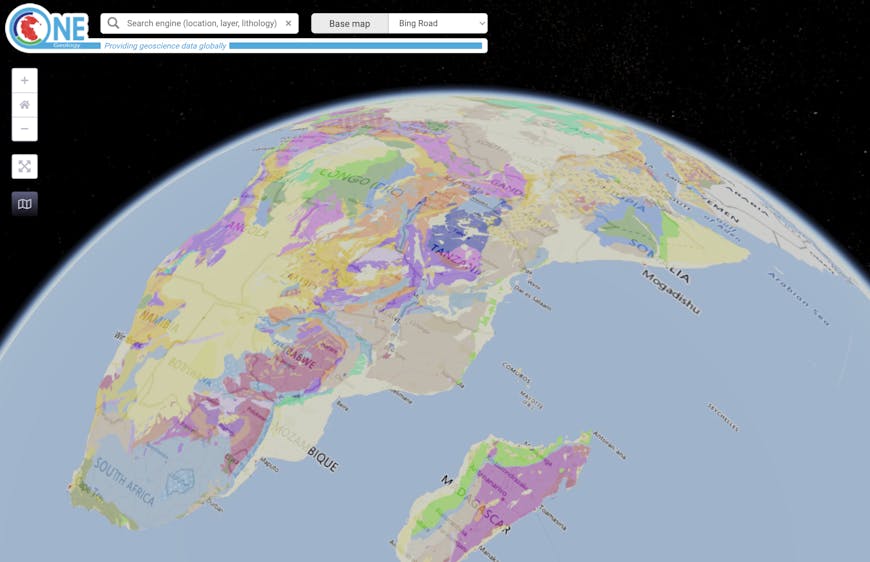
Bedrock age shown in OneGeology’s CesiumJS portal. The project is open source. Check them out on GitHub.
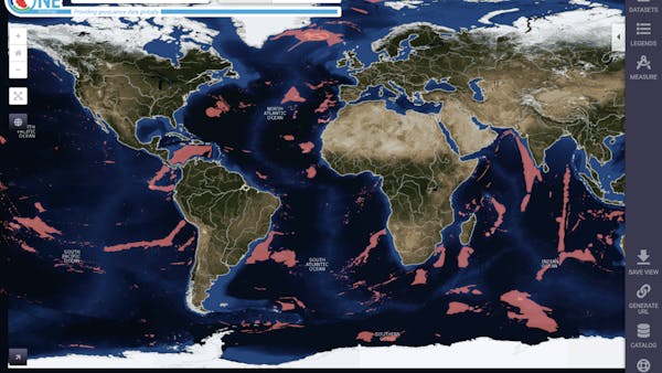
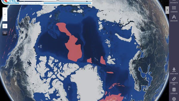
Their first goal was to make the geological map data of their member organizations more accessible by bringing it to the web so that anyone could use these interoperable, scientifically attributed datasets. They initially built their platform on OpenLayers. But to accurately share global datasets, especially in the polar regions and the anti-meridian, they needed a globe solution. See, for example, the comparison below:

Datasets in the polar regions are at best highly distorted in planar projections.

In the globe view, users can easily explore datasets in polar regions.
OneGeology’s CesiumJS portal allows users to access hundreds of geoscience datasets provided by member organizations, from volcanic data from Japan to soil erosion from Great Britain to mineral resources from the Arctic. Users can find relevant datasets through a variety of search options.

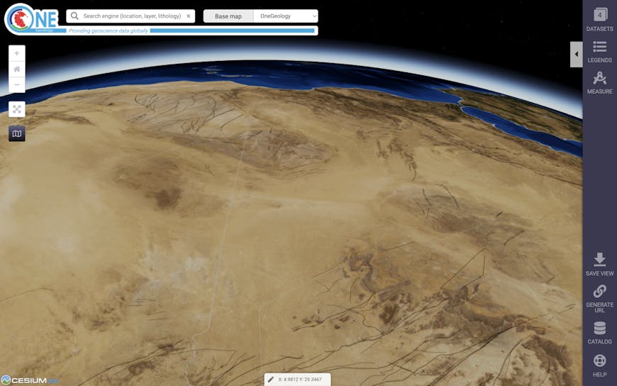
Fault lines in Africa.
To see your own datasets on a 3D globe, get started with a CesiumJS project.