Visualization of Earth's Magnetic Field as Observed by Satellite
VirES for Swarm, operated by EOX IT Services for the European Space Agency (ESA), is a virtual research platform for interpreting and visualizing data from Swarm.
Swarm is a mission of ESA launched in 2013 to survey Earth’s geomagnetic field, including its temporal evolution, and the atmosphere’s electric field. A constellation of three satellites gathers data about the Earth’s magnetic field, including its strength and direction, with the goal to understand how this magnetic field affects climate and weather.
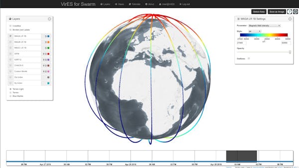
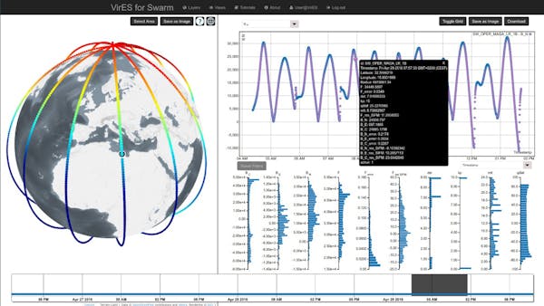
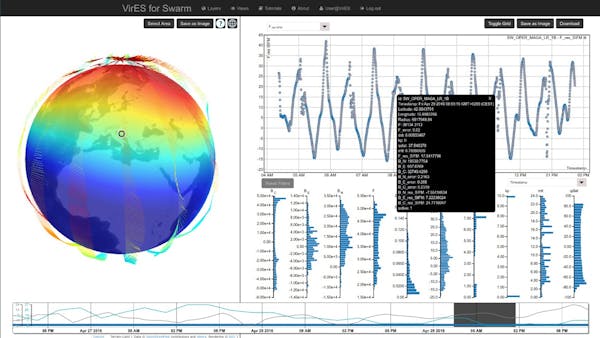
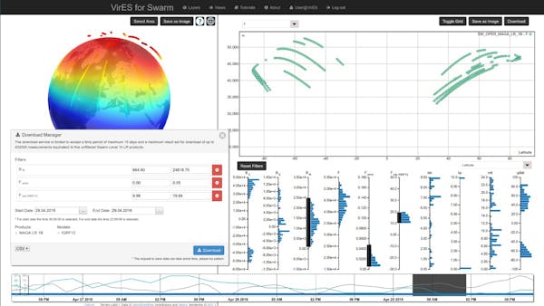
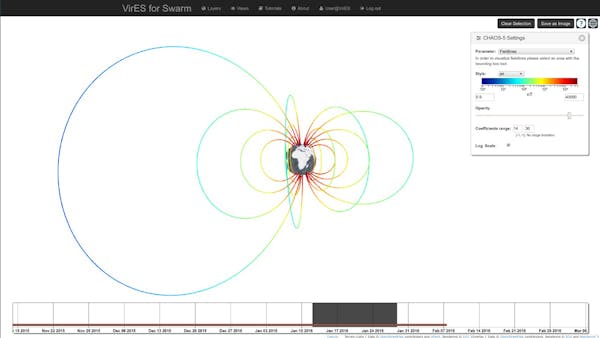
VirES plots Swarm data over a globe powered by Cesium. It includes tools for studying various Earth magnetic models by comparing them to the Swarm satellite measurements at given solar activity levels. Using a time-slider and other controls, users can filter the data. Any subset of Swarm data selected by the user in this way can be downloaded in a variety of encoding formats. In addition, the Swarm data can be visually and numerically compared to geomagnetic models, analyzed with respect to solar activity, and summarized in plots and diagrams.
This video demonstrates the VirES for Swarm tools and main features: