NASA’s Global Imagery Browse Services (GIBS) Provides Access to Public Catalog of 100+ Satellite Imagery Layers
If geospatial applications have one thing in common, it is the need to present data in a visual manner. This is where NASA’s Global Imagery Browse Services (GIBS) provides an invaluable service to the public. Their mission is to provide public access to over 100 satellite imagery products for use in geospatial applications. See also the Worldview Imagery Catalog.
The GIBS catalog is a combination of basemaps and dynamic satellite sensor data that can be integrated as imagery layers into any application. While basemaps are rarely updated, the sensor based imagery products are continually updated, providing near real-time imagery, usually only 3-5 hours behind when the satellite collected it.
Integration into Cesium applications is made simple using the GIBS API, which provides a consistent configuration scheme to setup your imagery providers. Another huge benefit of this catalog is that the Terms of Service allow for offline use of the imagery, which means you can cache the imagery and host within a closed network.
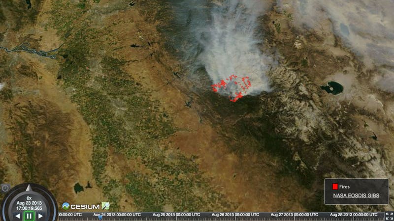
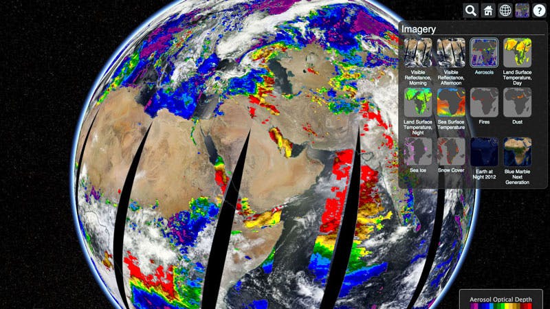
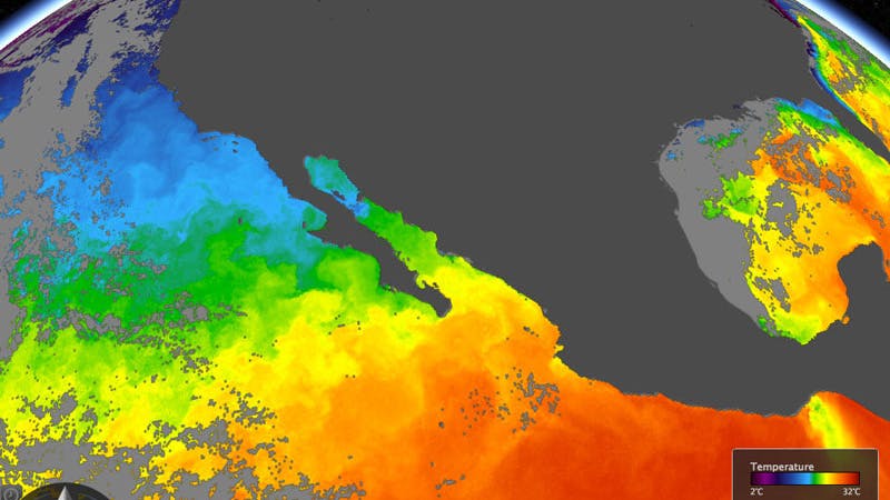
In their Cesium demo, today’s date is automatically selected and the Earth is rotated into position to see the leading edge of the observations. We used the Terra / MODIS Corrected Reflectance product for our default layer which uses spectral bands that correspond to red/green/blue to create a “true color” view. We included other layers that are viewable using the product selector in the upper right corner including fires, snow cover, and sea surface temperature. Check out the source code.